Wondering why two Seattle homes just a few blocks apart can feel like they belong in completely different markets? That is the reality of buying in Seattle. Micro-neighborhoods often shape your day-to-day lifestyle, commute, housing options, and future resale picture as much as the broader neighborhood name does. This guide breaks down how Seattle micro-neighborhoods work so you can search with more clarity and confidence. Let’s dive in.
Why Seattle Micro-Neighborhoods Matter
Seattle is not one uniform housing market. The city’s growth framework centers on urban centers, urban villages, and regional centers, and the current One Seattle update adds 30 new Neighborhood Centers while expanding some existing center areas, including Ballard.
For you as a buyer, that means nearby blocks can function very differently. One pocket may be shaped by mixed-use buildings, frequent transit, and busy retail streets, while another may feel more residential and lower-scale even though it shares the same larger neighborhood label.
Seattle also uses overlapping naming systems, including Neighborhood Map Atlas names, Community Reporting Areas, council districts, and design-review districts. In practice, micro-neighborhood names work best as search tools, not hard legal boundaries.
How To Evaluate A Seattle Pocket
When you compare micro-neighborhoods, it helps to look past the name and focus on how a place actually lives. Seattle’s planning and design documents point to the same block-level factors that matter most in a home search.
Focus On Built Form
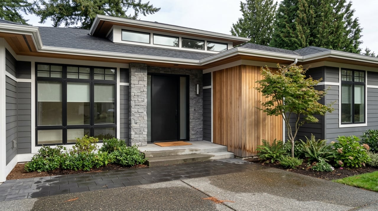
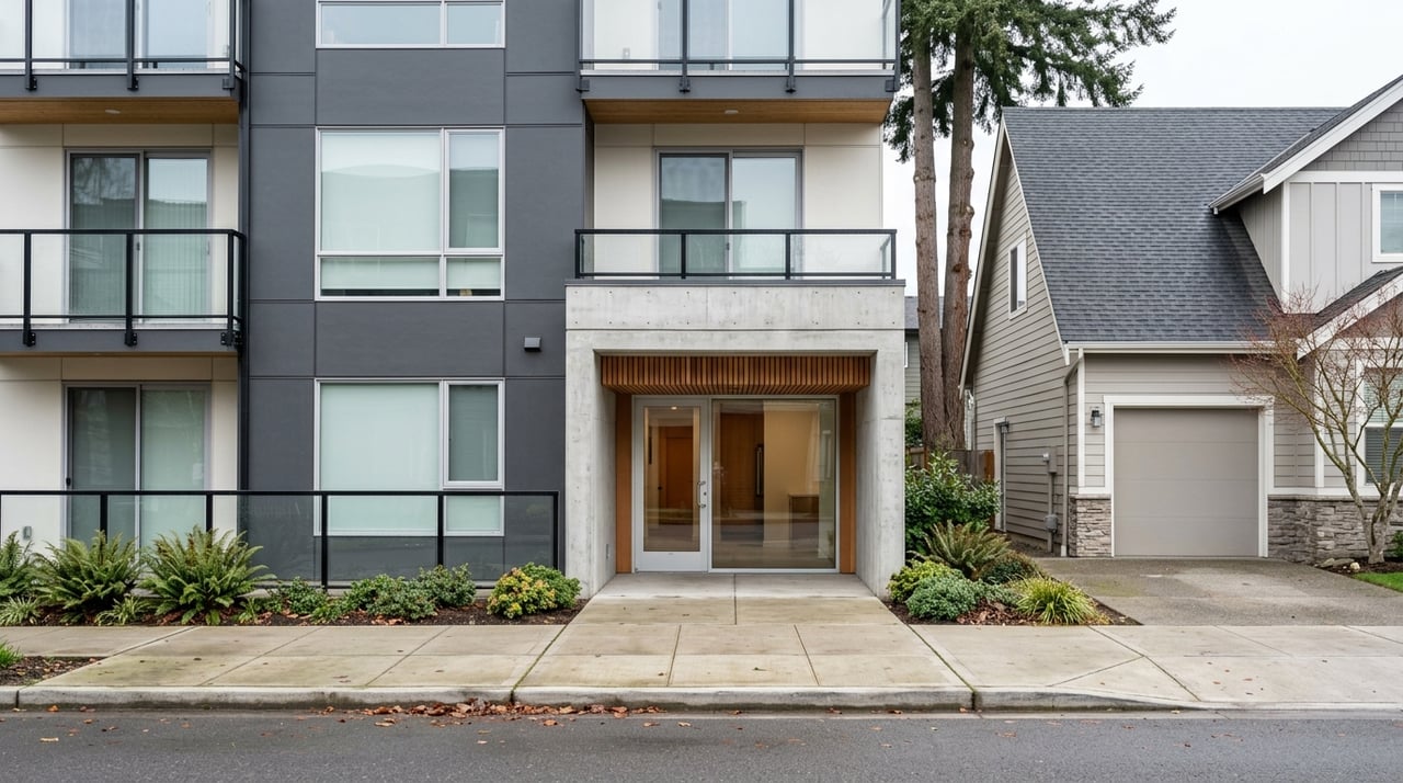
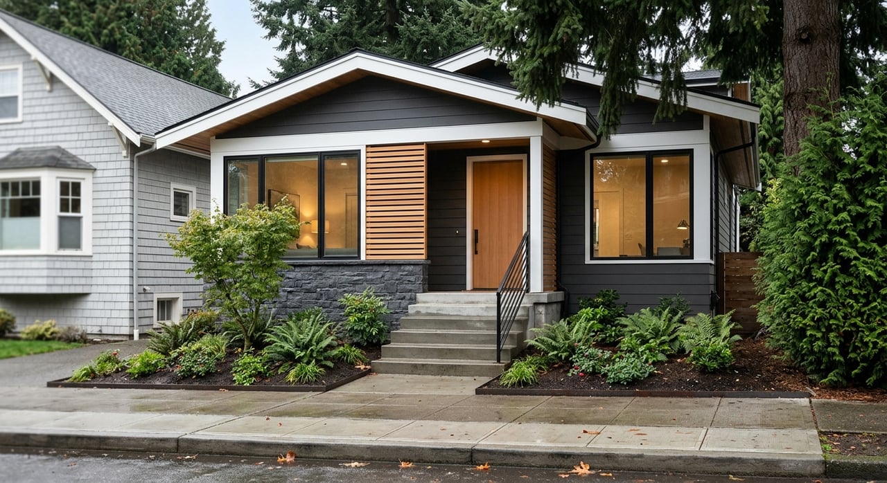
Start with the physical pattern of the area. Is the pocket condo-heavy, townhome-focused, or more house-forward? Are the buildings mostly early 1900s homes, older apartment buildings, newer mixed-use projects, or a blend of everything?
This matters because built form often shapes privacy, street activity, parking, and long-term supply. It can also affect whether a block feels quiet and residential or more connected to commercial activity.
Check The Daily Commute Mode
Do not just ask how close a neighborhood is to downtown. Ask which mode supports your routine best each day.
In Seattle, some areas are strongest for rail-first living, while others rely more on bus, bike, walking, or car access. A micro-neighborhood that looks similar on a map can feel very different depending on whether you are close to a Link station, streetcar line, greenway, or major bus corridor.
Watch For Likely Change
Seattle is updating Neighborhood Residential zoning and lowrise and midrise rules to comply with HB 1110, allowing more housing types such as multiplexes, townhouses, and cottage housing in many neighborhoods. That makes some residential areas more fluid over time.
If you are buying with a long horizon, it is smart to ask how likely your block is to change. In some areas, station planning, zoning updates, or expanded neighborhood centers may shape what gets built nearby in the years ahead.
Vertical Core Micro-Neighborhoods
Seattle’s vertical core includes Downtown, Belltown, Denny Triangle, South Lake Union, Uptown, and the Queen Anne edge. These areas are some of the city’s most urban pockets, but each still has its own feel.
What This Cluster Feels Like
Downtown is Seattle’s largest employment center and second-largest housing center. Belltown is described by city design guidance as Seattle’s densest residential community, while South Lake Union mixes residential, industrial, maritime, artisan, biotech, and service uses.
Uptown adds another layer, with detached homes, townhomes, apartments, older apartment buildings, and newer mixed-use condos. Queen Anne planning also distinguishes the urban center from nearby residential areas, which is why the edge of Queen Anne can feel different from the core of Uptown just next door.
Who This Area Fits Best
This cluster often works well if you want a dense, amenity-rich lifestyle. You will find a strong concentration of restaurants, offices, arts destinations, and waterfront access, along with strong transit connections.
If you want a tower or condo environment with a stronger street presence, these pockets are often worth searching together. They can share similar commute advantages while offering different building types and block-level character.
Ballard And Fremont Patterns
Ballard and Fremont are good examples of Seattle neighborhoods with active mixed-use cores and more residential edges. They are often grouped together by buyers, but each has distinct micro-patterns.
Ballard’s Layered Identity
Ballard is one of Seattle’s regional centers. Its design guidance highlights distinct character areas, historic brick buildings, active retail on Market Street, and the Ballard Avenue Landmark District’s boutiques, artist studios, galleries, and manufacturing uses.
Ballard is also in the station-area planning pipeline because Sound Transit is leading work on the Ballard Link Extension. That makes it especially important to distinguish between the established commercial core, nearby lower-scale residential blocks, and areas that may see more change over time.
Fremont’s Village Feel
Fremont’s neighborhood plan emphasizes a pedestrian culture and a network of small businesses, artists, artisans, industry, and residents. For many buyers, that creates more of a village-like commercial feel than a high-rise district.
If that appeals to you, it can make sense to search Fremont alongside Ballard, then compare how each pocket balances walkability, retail access, housing type, and street activity.
Nearby Residential Edges
Around these cores, housing often steps down toward more residential blocks. Nearby neighborhoods such as Wallingford and Green Lake add more bungalow and single-family fabric rather than high-rise density.
That is why a search centered on Ballard or Fremont can benefit from including adjacent pockets. You may find that your ideal balance of activity and residential feel sits just outside the best-known commercial streets.
House-Forward Urban Villages
If you want a more residential feel without giving up neighborhood retail and walkability, Green Lake, Wallingford, Greenwood, Phinney, and nearby pockets often stand out.
Green Lake And Wallingford
Green Lake’s design guidance describes an urban neighborhood with primarily early-1900s single-family homes, including Craftsman houses, small commercial areas, and pedestrian-friendly streets. Wallingford’s guidelines describe pre-World War II scale, single-family bungalows, tree-lined streets, occasional alleyways, and one-story masonry commercial buildings.
These areas often feel more house-forward and park-oriented than the vertical core. They still offer local retail and neighborhood-scale connections, but the built form tends to support a different pace of daily life.
Greenwood And Phinney Pockets
Greenwood and Phinney are framed in city guidance as having their own urban village character. For buyers, that usually means comparing where the housing sits relative to small commercial nodes and how much day-to-day walking access matters to your routine.
These neighborhoods are often useful if you want local services and a residential setting without targeting the denser downtown-adjacent districts.
Transit-Oriented Inner Neighborhoods
Capitol Hill, First Hill, the U District, and Northgate form a different pattern. These are inner-city neighborhoods where transit and mixed-use density play a major role in how each pocket functions.
Capitol Hill And First Hill
Capitol Hill and First Hill form a centrally located hub of urban living, nightlife, and institutional campuses. The area is supported by a Link station and a streetcar line, which makes it one of the strongest rail-and-streetcar combinations in Seattle.
If you want a denser environment with a stronger day-and-night street presence, these areas are often top contenders. Even here, though, the exact block matters because the feel can change quickly as you move away from the busiest corridors.
U District And Northgate
The U District is shaped by the University of Washington and many small businesses, with lively, pedestrian-oriented mixed-use corridors. Northgate is described by the city as a transition area with historically car-oriented development, large blocks, and a recent Link station.
For buyers, that means these neighborhoods may share a rail connection while still offering different street patterns and housing experiences. Northgate can feel more transitional and large-scale, while the U District often feels more concentrated around active pedestrian corridors.
Southeast Seattle And Rainier Valley
Beacon Hill and the Rainier Valley corridor are especially good examples of why exact location matters inside a larger neighborhood.
Why The Exact Pocket Counts
Beacon Hill is described in city historic documentation as predominantly residential, with older single-family homes, some apartments, vernacular commercial buildings, and a street network shaped by the hill itself. Rainier Valley is a transit-rich corridor where the city is investing in light rail-connected homeownership, neighborhood greenways, and safer walking and biking routes to destinations such as stations, parks, and grocery stores.
A home near a station or greenway can feel much more connected than a home farther from the corridor. If you are considering Southeast Seattle, map your likely daily movement carefully instead of relying on the neighborhood name alone.
West Seattle Search Strategy
West Seattle often enters buyer conversations as a lifestyle choice first, then a commute decision second. That is especially true in and around West Seattle Junction and Delridge.
Today’s Access Vs Future Change
West Seattle Junction is being planned as a transit-oriented neighborhood around new light rail stations. The city describes it as a hub of community life with a walkable, connected lifestyle and a strong neighborhood identity.
At the same time, the West Seattle Link Extension is still a planning and construction effort. So if you are buying there now, it makes sense to weigh current bus, bike, and car access more heavily, while treating future rail as a longer-term change factor rather than an immediate commuting solution.
Rail-First Vs Bus-First Living
One of the fastest ways to narrow your search is to decide what kind of transit pattern fits your routine.
Stronger Rail-First Areas
Rail-first living is strongest in:
- Downtown
- Belltown
- South Lake Union
- Capitol Hill
- First Hill
- U District
- Northgate
- Beacon Hill
- Mount Baker
- Columbia City
- Othello
- Rainier Beach
These areas are often easiest to compare if daily train access is high on your list.
Streetcar And Bus-Bike Areas
Streetcar-centered living is strongest in First Hill and South Lake Union. In contrast, bus and bike combinations matter more in West Seattle and many northwest residential pockets.
That does not make one better than another. It simply means your best-fit neighborhood depends on whether you value rail access, flexible bus service, bike routes, or a combination of all three.
A Smarter Seattle Home Search
If you want to search Seattle more efficiently, compare neighborhoods by pattern instead of only by name. Often the better question is not “Do I want Ballard or Green Lake?” but “Do I want a mixed-use core, a house-forward urban village, a rail-first neighborhood, or a pocket likely to change over time?”
A strong micro-neighborhood search usually compares:
- Building type and age
- Distance to the nearest retail node or station
- Whether the street is primarily residential, mixed-use, or destination-oriented
- Parking needs versus transit reliance
- The likelihood of future change under current city plans
When you search this way, Seattle starts to make more sense. You can narrow faster, tour more intentionally, and choose a home based on how you actually want to live.
If you want help comparing Seattle micro-neighborhoods, evaluating commute patterns, or narrowing your search to the right blocks and building types, connect with Sound Real Estate Services.
FAQs
What is a Seattle micro-neighborhood for homebuyers?
- A Seattle micro-neighborhood is a smaller pocket within a broader neighborhood that may have its own housing mix, street activity, transit pattern, and feel.
Which Seattle neighborhoods are more condo-heavy for buyers?
- Condo and apartment options are generally more concentrated in the vertical core, including Downtown, Belltown, South Lake Union, Uptown, and other dense inner neighborhoods.
Which Seattle neighborhoods feel more house-forward for buyers?
- Green Lake, Wallingford, Greenwood, Phinney, and similar residential urban villages often feel more house-forward, with more single-family homes and lower-scale streets.
Which Seattle neighborhoods are best for rail-first living?
- Rail-first living is strongest in neighborhoods with Link access, including Capitol Hill, the U District, Northgate, Beacon Hill, Mount Baker, Columbia City, Othello, Rainier Beach, and several downtown-adjacent areas.
Why do nearby Seattle blocks feel so different to homebuyers?
- Seattle’s urban centers, urban villages, design districts, and evolving zoning patterns can create very different built environments and daily routines within a short distance.
How should homebuyers compare Seattle micro-neighborhoods?
- Compare building type, transit access, street character, nearby retail, parking needs, and the likelihood of future change instead of relying only on neighborhood names.